Orienteering Route Choice with GIS

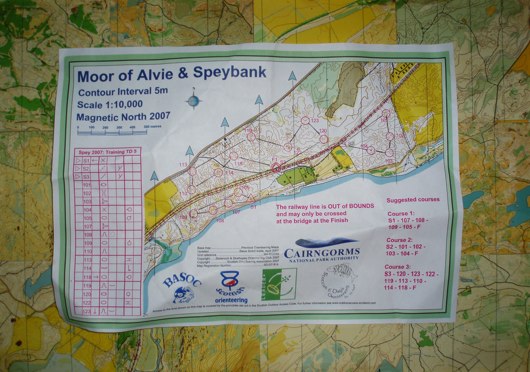
I read an interesting article on how some students in Sweden did a project on calculating route choice using GIS from an orienteering map.
After reading through it, it looks as if they have been pretty successful. It would have been interesting for them to get runners to run the routes and compare them with a human route choice.
Further down the line this could be interesting if the orienteering map was held in some sort of digital device. It could calculate the optimum route in real time and then use GPS to direct you along this route. Turning super technical orienteering into a string course that take the optimum route with respect to contours, terrain run-ability and road options.
In the coming years it will be a challenge to maintain the challenge of orienteering with advances in navigation technology. Formula 1 restrictions will no doubt come into force.